-
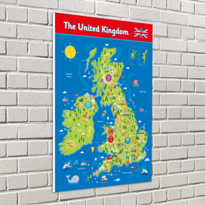

From £19 + VAT
This UK map with landmarks has been lovingly created by our in-house illustrators. It is beautiful to look at, with engaging illustrations of the most prominent landmarks from across the UK. Guaranteed to capture children’s attention and encourage an interest in the geography of the United Kingdom.
-
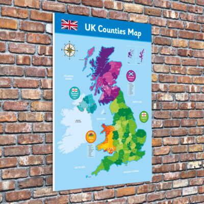

From £19 + VAT
This UK counties map shows all of the counties across the United Kingdom, colour coded by the country they belong to. The capital cities of each of the four countries is also marked.
Beautifully drawn and coloured, the map also shows the flag of each country, as well as the Union Jack. It also features a decorative compass rose showing north, south, east and west.
-
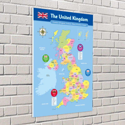

From £19 + VAT
This UK counties map is a slightly more formal variation of our standard counties map. It still shows all of the counties across the United Kingdom but they are not colour coded by the country they belong to. The capital cities of each of the four countries are still marked but the map is composed of a more subdued colour palette.
-
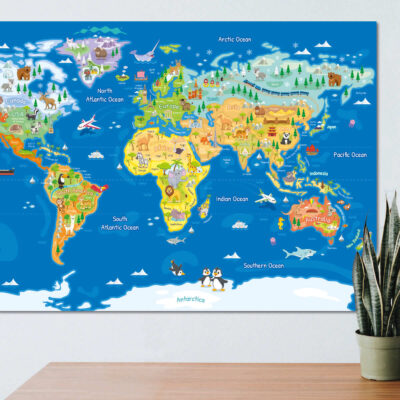

From £19 + VAT
Our stunning world map sign is a classroom show-stopper. Make this the centrepiece of your classroom wall to support the learning of geography, culture and the natural world.
Beautifully illustrated with depictions of major sites of interest in each region and archetypical flora and fauna.
-
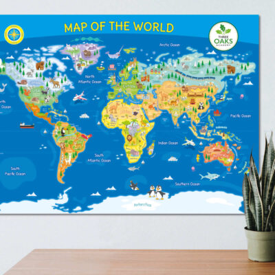

From £19 + VAT
This is a variation of our stunning world map sign that includes a title, North/South compass and space for your school’s logo. Still the perfect centrepiece for any classroom wall, but customisable to suit your messaging and branding.
As with the original, this world map is beautifully illustrated with depictions of major sites of interest in each region and archetypical flora and fauna.